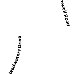
11 THORNTON BROOK RD
Owner Information
RONGA TANYA TRS
11 THORNTON BROOK RD
WEST YARMOUTH, MA 02673


Property Details
11 THORNTON BROOK RD is classified as a Single Family Residential (Ranch).
The primary structure on this property was built in 2015. There are 3,108ft2 of built area within this property. There is 1,276ft2 of residential/living space within this property. This property is listed as having 5 rooms.
11 THORNTON BROOK RD is valued at $478,600. The land is valued at $121,900 and the structures are valued at $354,700. There is an additional valuation of $2,000 on this property.
The most recent deed for 11 THORNTON BROOK RD is recorded at the local registrar in Book D1308171, Page 0. 11 THORNTON BROOK RD was last sold on Thursday, November 10, 2016 for $100.
Assessment data from fiscal year 2022.
Flood Data
According to the FEMA National Flood Hazard Layer, this property does not appear to be in a flood zone. It may also be in an area not yet reviewed. Nonetheless, confirm this information prior to taking any action.
To view the flood hazards around this property, create a FEMA "Firmette" Map of the area around 11 THORNTON BROOK RD.
Broadband Internet Providers
| Provider | Type | Bandwidth (mbps) | |
|---|---|---|---|
| GCI Communication Corp. | Satellite | 0 | 0 |
| Comcast | Cable | 1000 | 35 |
| Viasat Inc | Satellite | 35 | 3 |
| HughesNet | Satellite | 25 | 3 |
| Verizon New England Inc. | DSL | 15 | 1 |
| VSAT Systems, LLC. | Satellite | 2 | 1 |
| T-Mobile | Fixed Wireless | 25 | 3 |
Broadband service provider data from December 2020.
Adjacent Properties
- 143 HIGGINS CROWELL RD
Single Family Residential owned by MAGUIRE JANET M - 5 THORNTON BROOK RD
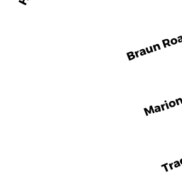
Single Family Residential owned by MCCARTHY JAMES J III - 8 BRAUN RD
Single Family Residential owned by CERVERA TODD - 14 BRAUN RD
Single Family Residential owned by RIDEOUT RICHARD P JR - 17 THORNTON BROOK RD
Single Family Residential owned by MARIANO NICOLA TRS